©Journal Communications/Michael D. Tedesco
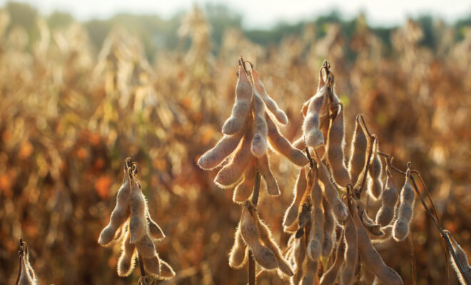
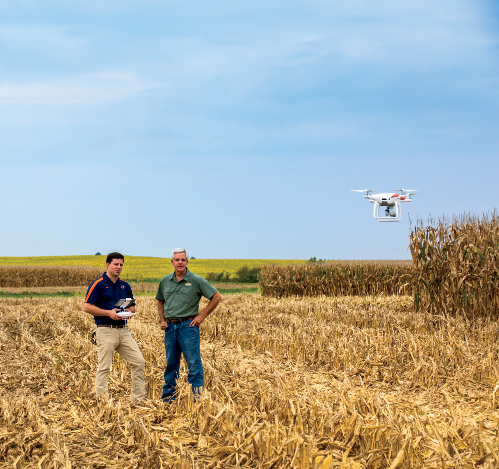
At the University of Illinois, high-resolution drone footage replaces tedious on-foot observations to develop new and improved soybean varieties.
Across Illinois, an insurance company in 2018 flew drones over 50,000 acres of crops, thoroughly locating crop damage from wind and other conditions. In central Illinois, a farm family says their drone images tell a story about crop health and field drainage issues, supporting their quest to continuously improve the multigenerational family farm.
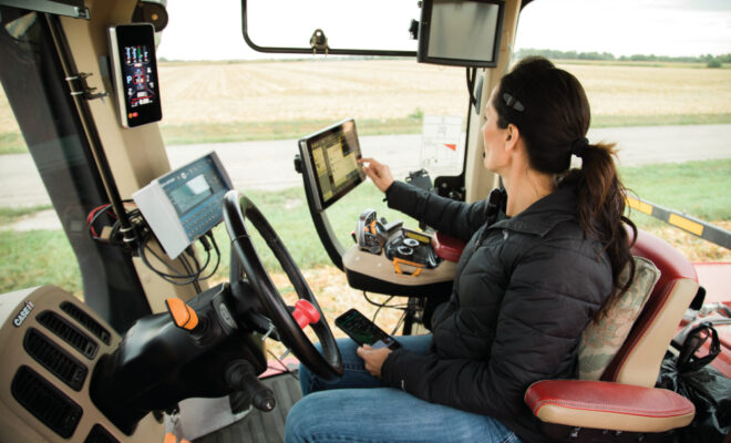
“Drones help tell a story, are very visual and have a cool factor,” says Reid Thompson, who grows corn and soybeans with his dad in McLean County. “We’re using drones and precision systems that cost tens of thousands of dollars to place inputs and manage the crop with sub-inch accuracy.”
See more: How Modern Technology Helps Farmers Weather the Weather
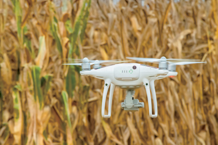
How Drones Help Farmers
Unmanned aerial vehicles, often nicknamed drones, carry great potential in agriculture, an industry identified as a top drone user in the next decade. Depending on the camera system, drones currently can fly over a field and capture imagery that identifies water stress, fertilizer deficiencies, seed germination rates and early detection of disease. Some use them simply to look for crop damage and check miles of cattle fences.
At the U of I, researchers use near-infrared imaging on drones to identify nitrogen fertilizer impacts to corn in ways not visible to the human eye. They use aerial imagery to study the environmental effectiveness of cover crops. Researchers also fly drones to determine soybean maturity, an observation made by leaf color.
“With drones, we can quickly do an aerial survey of the field and use that imagery to do the same work as walking plots over a several-week period,” says Dennis Bowman, U of I Extension educator in commercial agriculture. “It captures the change of color, and we can run the imagery through software that can give us a numerical rating. It helps take some of the guesswork out of the visual estimation.”
Drones Save Time and Money
COUNTRY Financial started using drones in 2016 when the Federal Aviation Administration (FFA) required a pilot’s license to fly them. Fortunately, three members of the staff were pilots. Now, an FAA-approved course and exam covers the drone certification for 20 staff members.
Among its services, COUNTRY offers insurance to Illinois farmers to protect them against losses related to revenue, yield and planting challenges. The company owns a fleet of 16 drones and uses them to assess crop damage from wind, livestock, vehicles, chemical drift and vandalism.
“In the past, if we had a wind claim on a 200-acre field, we would deploy four to five adjusters to walk that entire field looking for damage. It could take four to five hours,” says Brad Clow, COUNTRY crop operations manager. “Now we can fly that field and cover that 200 acres within probably 15 to 20 minutes.”
During flight, the customer watches live video footage on a tablet, seeing what a roadside view couldn’t provide for a field with 7-foot-tall corn. Customers share their satisfaction, knowing the drone technology helps account for all crop damage.
Perhaps one day, further advancements in drones will allow the company to assess hail damage down to the kernel.
“Different technology out there continues to develop that can enhance our operations,” Clow says. “We hope infrared technology will continue to advance, propel us to another level and bring even greater service to our customers.”
See more: Technologies Help Plant with Precision
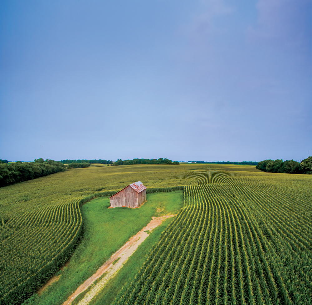
Providing a Bird’s-Eye View
The Thompsons fly a drone every few weeks in the summer over select fields on their farm of 3,400 acres, equivalent in size to the same number of football fields.
©Journal Communications/Jeffrey S. Otto
“You can’t realistically walk across the whole farm,” Thompson says. “Drones are a tool that help us see the back parts of a field, see parts of the farm you can’t see from the ground and find areas to target.”
His drone, equipped with a basic camera, helps tell a visual story for his family and their landowners. That story may relate to field drainage issues, wind damage, nutrient deficiencies or weed pressure. In the future, Thompson hopes for the ability to respond to drone data rapidly. That could mean deploying a sprayer to spot-treat a foliar disease that a drone identified or responding with nitrogen application in deficient areas.
“That’s the next big step, not only in the use of drones, but in all ag technology,” Thompson says. “Let’s go out, quantify and analyze data, make a decision and take immediate action.”